Satellite imagery promises to play an essential role in creating digital twins that could help model carbon emissions, increase farming yields and monitor the oceans.
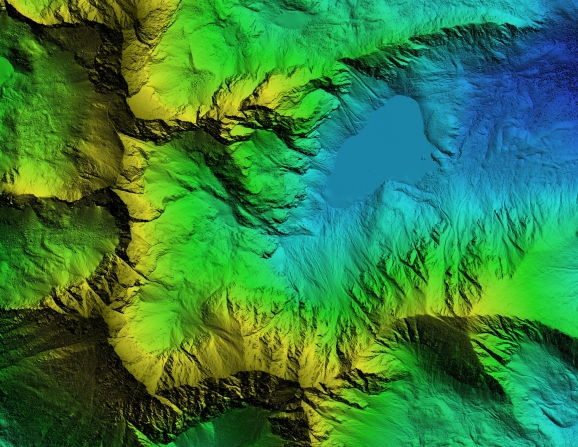
Satellite imagery promises to play an essential role in creating digital twins that could help model carbon emissions, increase farming yields and monitor the oceans.Read More